Reality Capture Solutions Evolve for Construction in 2026
As reality capture becomes standard practice in construction, the focus shifts from adoption to effective data utilization, with solutions prioritizing searchability, integration, and actionable insights for project lifecycles.
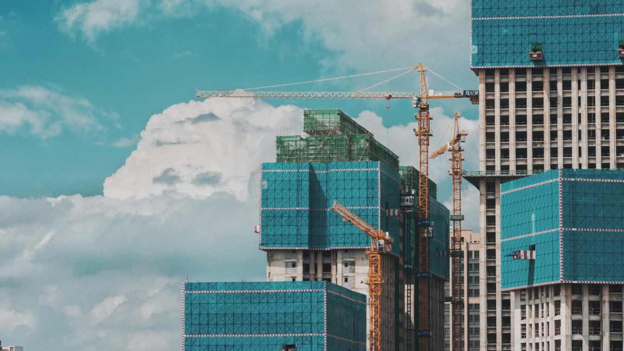
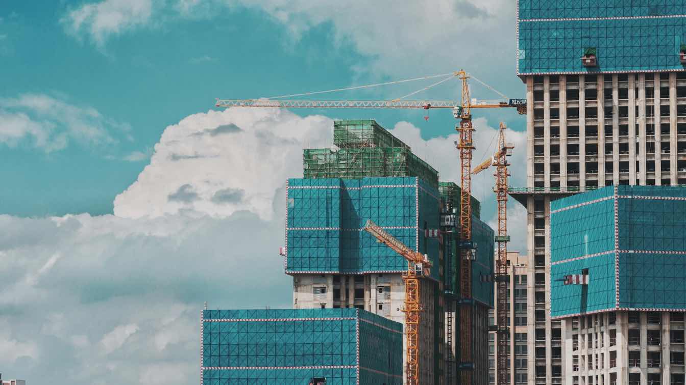
The integration of reality capture into routine construction workflows is accelerating, moving beyond high-profile projects to become a standard documentation practice. By 2026, the critical question for construction teams is no longer whether to capture site data, but which solutions best transform this raw information into valuable, actionable project records. The Federal Highway Administration’s emphasis on digital as-builts highlights that captured data’s true worth lies in its ability to be searched, geo-referenced, integrated, and utilized throughout a project’s life, rather than remaining as inaccessible raw scans.
This evolving landscape prioritizes solutions that effectively convert captured reality into formats that teams can actively search, compare, and act upon, marking a significant shift in how construction data is managed and leveraged.
Methods and Their Trade-offs
Reality capture encompasses three primary methods, each balancing speed with precision:
Laser scanning, or LiDAR, offers the highest level of precision. Terrestrial and handheld scanners generate dense point clouds with millimeter-level accuracy. Research into creating as-built models from scan data demonstrates their utility as a measurable foundation for comparing constructed elements against design intentions. However, this precision comes with a higher cost and greater effort in implementation.
360-degree cameras represent the faster, more cost-effective end of the spectrum. They produce immersive walkthroughs that are easily accessible for review by a wide range of project personnel but offer lower dimensional accuracy.
Drones are essential for capturing exteriors, roofs, and earthworks that are inaccessible to ground-based methods.
A common challenge across these methods is site coverage, particularly dealing with occlusions—blocked sightlines caused by workers, machinery, or materials. This limitation frequently leads teams to combine multiple capture methods rather than relying on a single technology.
Evaluating Reality Capture Platforms
The tools most frequently evaluated by construction teams are grouped by their primary strengths, acknowledging that the optimal choice is highly dependent on specific project needs, and mature programs often integrate two or three solutions.
OpenSpace utilizes a hard-hat-mounted 360-degree camera to automatically align walkthroughs with project plans, enabling field teams to generate plan-linked records quickly and review them remotely. This approach focuses on documentation, transforming frequent 360 captures into a searchable, plan-aligned record integrated with existing team tools. It is particularly appealing for teams seeking a low-friction routine that field crews will consistently adopt.
DroneDeploy, initially an aerial mapping platform, has expanded to include ground and handheld capture capabilities. This allows a single account to manage drone flights, 360 walkthroughs, and interior scans, integrating with construction management platforms like Procore and Autodesk Construction Cloud. It is a strong contender for teams prioritizing drone workflows who also require integrated ground capture.
Cupix creates navigable 3D digital twins from 360-degree captures and can import point clouds from other devices. This capability is attractive to virtual design and construction teams seeking in-browser measurement and dashboard depth. Its flexibility in handling diverse capture sources is a key benefit for groups working with mixed data types.
HoloBuilder, now part of FARO’s Sphere platform, offers a 360-degree documentation workflow integrated into FARO’s broader laser-scanning ecosystem. This solution is well-suited for teams already invested in FARO hardware, providing a unified environment for both 360 walkthroughs and scan data.
Reconstruct takes a device-agnostic approach, merging 360, drone, and laser data into a single, measurable model. It overlays design or model files, allowing remote stakeholders to identify deviations. This platform is ideal for teams that already possess a mix of capture hardware and desire a consolidated viewing solution.
Buildots employs helmet-mounted cameras and computer vision to compare site conditions against project models and track progress against schedules. Its focus is on automated progress and deviation detection, appealing to teams that require an integrated analysis layer rather than just documentation.
Track3D adds automated progress tracking to visual documentation by comparing captured conditions against project plans, flagging areas where work is ahead or behind schedule. It is designed for teams prioritizing objective, frequent progress reporting, and functions best on projects with a consistent capture cadence due to its reliance on repeated comparison.
Matterport’s Pro3 device combines LiDAR with high-resolution imagery, producing both a measurable point cloud and a photorealistic walkthrough. Widely used beyond construction in real estate and facilities management, it is suitable for teams seeking a polished visual twin alongside dimensional data. Given its broader industry application, it is often applied to existing-conditions documentation and handover rather than daily progress tracking.
Dedicated scanners, such as Leica Geosystems’ BLK360 and RTC360, FARO’s Focus line, and mobile mapping systems like NavVis, remain the reference tools for millimeter-grade accuracy. These hardware solutions capture survey-grade point clouds for tight-tolerance and as-built work, typically requiring pairing with software platforms for processing into usable models—a stage where significant effort and specialized skill are often needed.
Key Criteria for Selection
The effectiveness of a reality capture solution hinges on practical considerations beyond sensor specifications:
Match the method to the decision-making needs. The choice should align with the questions teams need to answer weekly, such as progress verification, clash avoidance, or as-built accuracy, rather than solely focusing on the highest-spec sensor.
Alignment to plans and models. Captures are significantly more valuable when linked to drawings or models, enabling comparisons over time and against design intent, rather than being viewed in isolation.
Accessibility for non-specialists. For data to drive decisions, project managers and owners must be able to access and interpret it without extensive training. The processing burden is a critical factor, as studies indicate that transforming scan data into usable output often still relies heavily on trained specialists due to the variability of live construction sites.
Integration with existing systems. Capture data that flows seamlessly into a team’s existing software ecosystem enhances usability and efficiency.
The practical application and integration of these technologies are crucial for unlocking their full potential in streamlining construction processes and improving project outcomes.
Source: Amazing Architecture (https://amazingarchitecture.com/articles/the-best-reality-capture-solutions-for-construction-in-2026)
Datos clave
| Punto | Detalle |
|---|---|
| Fuente | Amazing Architecture |
| Fecha | 2026-07-16T22:11:30+00:00 |
| Tema | The best reality capture solutions for construction in 2026 |
Source
Amazing Architecture Original publication: 2026-07-16T22:11:30+00:00
Related news

SIITUA III to Gather International Researchers on Territory, Urbanism, and Architecture in Lima
The third edition of the International Seminar on Research in Territory, Urbanism, and Architecture (SIITUA III) will take place in Lima, organized…
Read more
Christopher Kane brings streamlined, heritage-driven vision to Mulberry in London Fashion Week debut
The Scottish designer presented his first collection for the British leather goods house at London Fashion Week, blending sharp tailoring, archival references…
Read more
When Film Directors Become Interior Designers: Guadagnino, Lynch, Anderson and Almodóvar Step Off Screen
From Luca Guadagnino’s Zara Home collection to David Lynch’s Paris club and Wes Anderson’s train carriage, a wave of collaborations is blurring…
Read more
Jesus Mari Lazkano Examines Changing Landscapes Through Painting and Animated Film at Basque Luxury Studio
The Basque artist’s exhibition ‘Azken Natura’ brings together six large-scale paintings and a 22-minute animated film that traces the melting of the…
Read moreRelated wiki
Adaptive Reuse in Architecture
Reference page for reuse, retrofit, conversion, embodied carbon and design constraints.
Read more